Why the Caribbean is bracing for what could be the worst hurricane season on record


Dr. Peter Pfleiderer, Dr. Rosanne Martyr, Dr Carl-Friedrich Schleussner
Unprecedented sea surface temperatures in June have already fuelled a hurricane that has flattened communities in the Caribbean - the earliest of its kind. With forecasts warning of more to come, our experts get into the numbers of why this years' season could be the worst on record.
Share
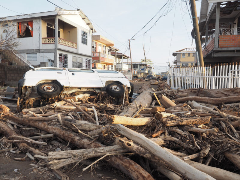
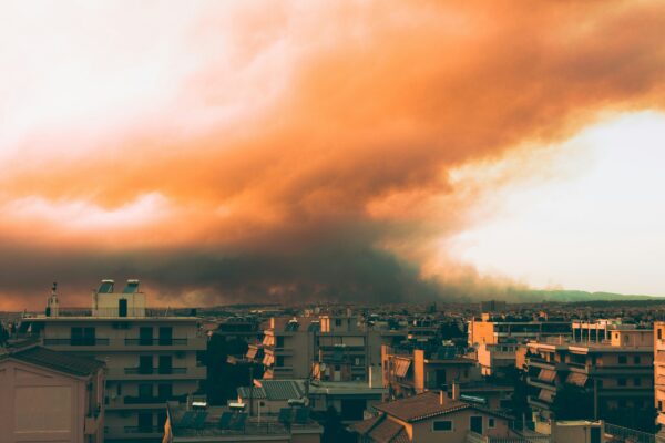
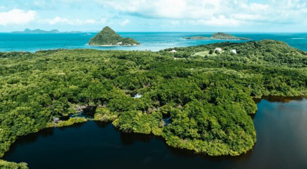
Hurricane season in the Caribbean has had a truly unprecedented start. Hurricane Beryl, which hit in June, flattened entire communities in Grenada, Jamaica, and left thousands without power and services across the Caribbean and the United States. With sea surface temperatures at an all time high, many are scared and bracing themselves for what could be the worst hurricane season on record.
Widely expected to be a category 1 tropical cyclone, Beryl intensified so quickly and broke several records as it first crossed the Windward islands of the Caribbean, moved westward past Jamaica onto the Yucatan peninsula of Mexico, and then northward onto Houston, Texas, USA, leaving destruction and loss in its wake.
Beryl was unusual across many different scales. It now holds the record for:
The strongest hurricane ever recorded in June
The strongest hurricane that’s ever struck the southernmost Caribbean Windward Islands
The earliest category 4 hurricane ever
The earliest category 5 hurricane ever
The furthest east a tropical storm has ever escalated into a hurricane in June
Seasonal forecasts for hurricanes and how intense they will become is measured using ‘accumulated cyclone energy’. An extremely active Atlantic tropical cyclone season is classified by the US National Oceanic and Atmospheric Administration (NOAA) as a season with an accumulated cyclone energy (ACE) above 160. This years’ predicted average is 214. However, predictions put out in the last three months estimate an even higher average: 230 ACE. Both indicate an extremely active season.
For comparison, the 2017 season – the costliest on record, with major Hurricanes Harvey, Irma and Maria – had an ACE of roughly 225. In Barbuda over 90% of structures were destroyed, resulting in the island being completely uninhabited for the first time in 300 years.
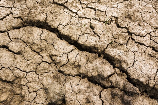
Hurricanes are among the most damaging extreme weather events and can take out entire economies many times over in small islands. From 2000 to 2019, some Caribbean Small Island Developing States were hit by a major hurricane eight times. GDP losses from tropical cyclones average at 3.7% per year, with the most affected Caribbean country, Dominica, averaging yearly losses of 21.2%.
Why sea surface temperatures matter
High sea surface temperatures allow storms to accumulate power in short amounts of time. Rising sea surface temperatures, driven by climate change, have doubled the chances of an extremely active Atlantic tropical cyclone season. Seven out of the last ten years have been above normal seasons and two have been extremely active.
And now this year, we’re seeing the highest sea surface temperatures on record.
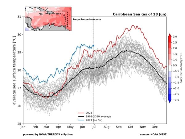
We don’t yet know how accumulated cyclone energy will actually develop. But the persistently high sea surface temperatures is forcing estimates for this season to be revised higher and higher as the months go on.
Will this be a repeat of 2005?
2005’s hurricane season is one of the most memorable in recent history, as it was the year that Hurricane Katrina hit New Orleans, becoming the costliest extreme weather event in the United States up until that time.
Throughout the season in 2005, sea surface temperatures were very warm and atmospheric circulation was favourable for formation and intensification. By the end of the season accumulated cyclone energy reached 250. Even with the favourable weather conditions that year, this was unexpectedly high.
Such an extremely high season is now 50% more likely than it was in 2005 because of high sea surface temperatures. And if the same atmospheric conditions and storm patterns that emerged in 2005 developed this year over current sea surface temperatures, accumulated cyclone energy would read 280, which has never been seen before.
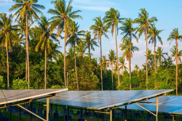
These forecasts aren’t crystal balls and there is no way to truly predict what will happen this hurricane season. But with global temperatures breaking records month after month, and fossil fuel companies reporting massive profits, it's clear that we still stand in a moment of great contradiction when it comes to climate action. We need to be alive to the risks we are creating, and in particular who we are creating them for. There is a reason that small islands have led the charge on calls for more ambitious action on climate. Their future, and our future, depends on it.